Chamarajanagar
- Buy
Property By Locality
Property By Type
Property By BHK
Property By Budget
- Rent
- Agents
- Services
 +9 more
Gundlupet, Chamarajanagar

Places nearby
Gundlupet, Chamarajanagar
1 Km
2 Km
3 Km
4 Km
5 Km
2 Km
3 Km
4 Km
5 Km
5 Km
1 Km
2 Km
3 Km
4 Km
5 Km
1 Km
2 Km
3 Km
4 Km
5 Km
1 Km
2 Km
3 Km
4 Km
5 Km
1 Km
2 Km
3 Km
4 Km
5 Km
1 Km
2 Km
3 Km
4 Km
5 Km
1 Km
2 Km
3 Km
4 Km
5 Km
1 Km
2 Km
3 Km
4 Km
5 Km
1 Km
2 Km
3 Km
4 Km
5 Km
1 Km
3 Km
5 Km
30 Km
160 Km
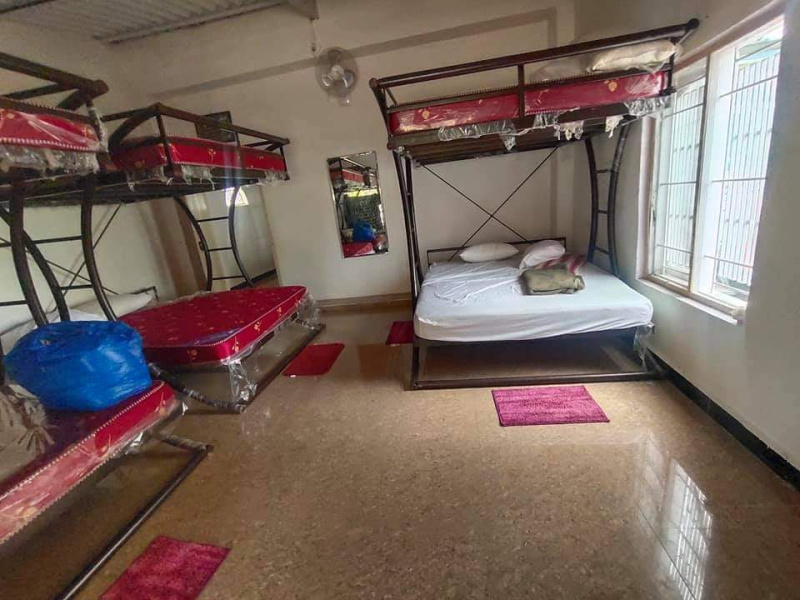
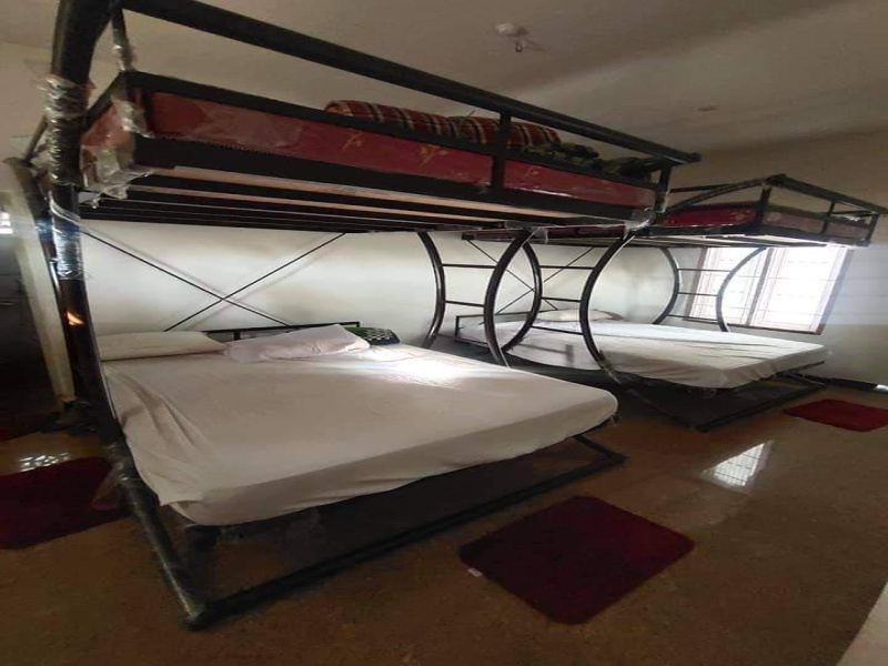
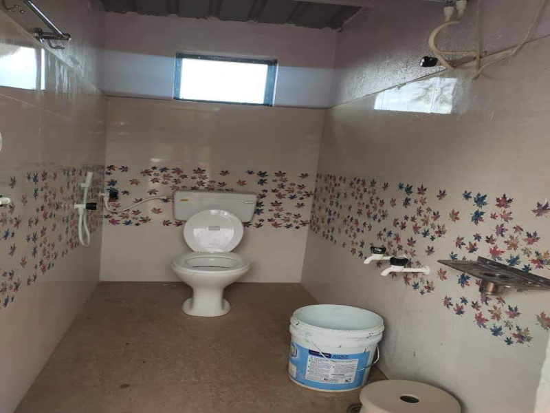
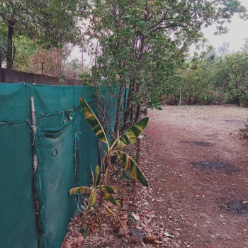
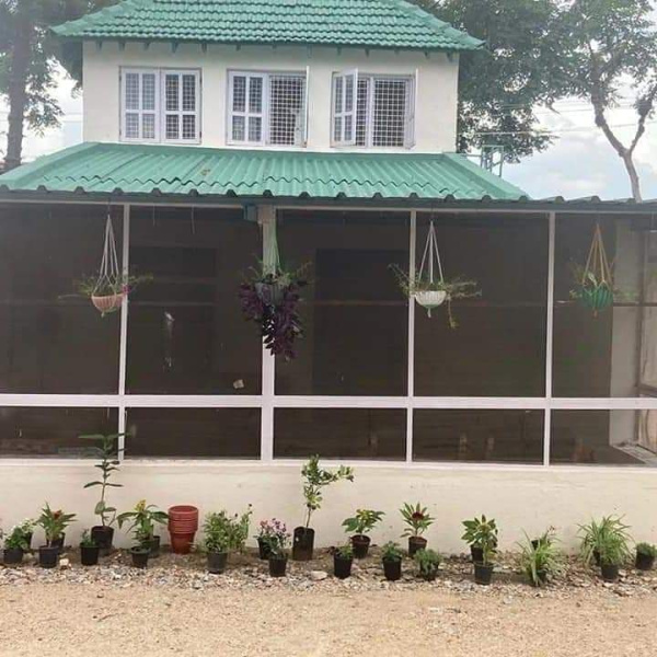
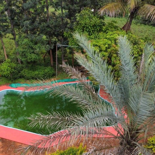
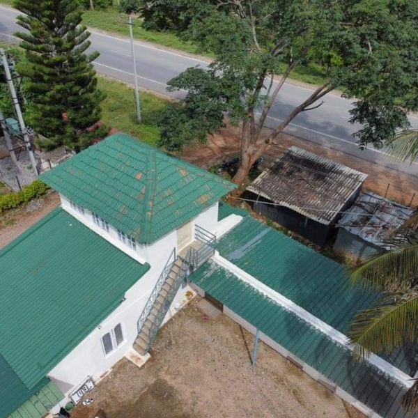
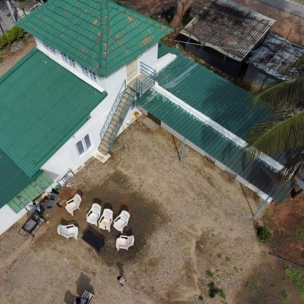
Farm House for sale in Gundlupet
15 Acre
650 Alphonso
450 chikku
200 coconut
100 imported fruits
2 borewells
1cottage
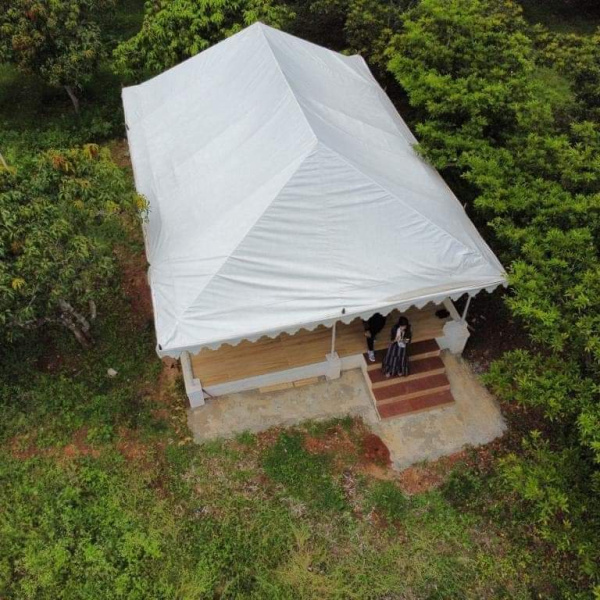
1Tent house
2 Sheds built fr industry or factory purpose
Price 9.5cr
Location Gundlupet
Gundlupet is the last town in Karnataka on the National Highway 766 which goes through Mysore, Ooty, Wayanad, and Calicut. It is situated very close to the Tamil Nadu and Kerala state borders. NH 181 begins from Gundlupet and ends in Nagapattinam in Tamil Nadu via Ooty and Coimbatore.
Urban/Rural Population - Gundlupet Taluka
There are about158villages in gundlupet taluka, which you can browse from gundlupet taluka villages list (along with gram panchayat & nearest town information) below.
Thus around 12.6% of total population of Gundlupet Taluka lives in Urban areas while 87.4% lives in Rural areas.
Gundlupet is in Chamarajanagar district inKarnatakaregion.
Chamarajanagar is the southernmost district in the state of Karnataka india.It was carved out of the original larger mysore district in the year 1997. chamarajanagar town is the headquarters of this district.

All the information displayed is as posted by the User and displayed on the website for informational purposes only. RealEstateIndia makes no representations and warranties Read More
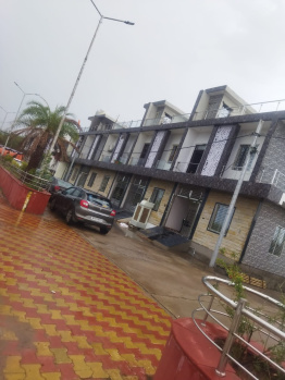

Call for Price
30.19 sq.m 3 Bath 3 Balcony Contact Agent


Call for Price
74.32 sq.m 2 Bath 1 Floor
Contact Agent
Call for Price
25941.49 sq.m 2 Bath Ground Floor
Contact Agent



Property for Sale
Flats for Sale
Flats for Rent
New Projects